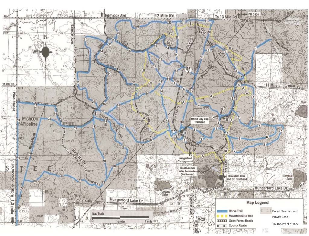
Horse Trails
Horse Trails
Hungerford Equestrian Camp - 1trailmeister added this area
Big Rapids, MI
Riders have logged 9.36 miles & 3.90 hours here.
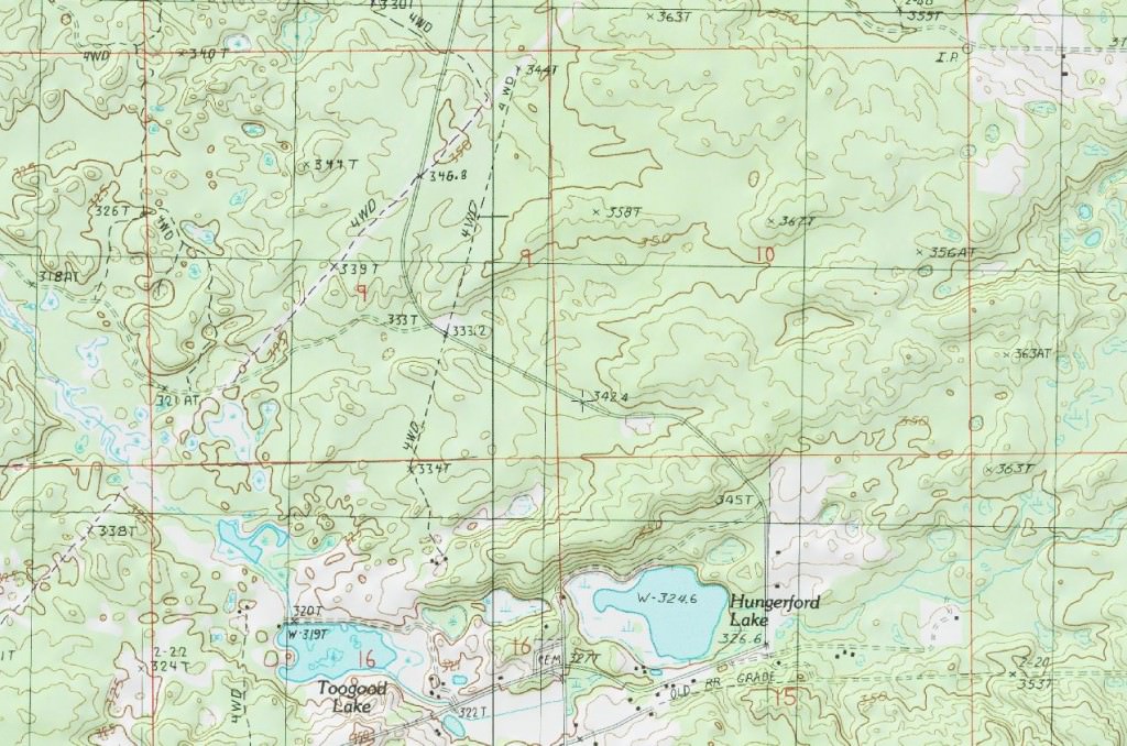
 Printable Map
-
 Directions
×
Directions
×Driving Directions
Click the icon for directions in google.From Big Rapids - Travel west on M-20 for 8.5 miles. Turn right and travel north on Cypress Ave. for .5 miles. Turn right and travel east on Hungerford Lake Dr. for .5 miles. Turn left and travel north on Forest Rd. 5134 for 1 mile.
-

- ★★★★★
- Printable Map
-
Directions
×
Driving Directions
Click the icon for directions in google.From Big Rapids - Travel west on M-20 for 8.5 miles. Turn right and travel north on Cypress Ave. for .5 miles. Turn right and travel east on Hungerford Lake Dr. for .5 miles. Turn left and travel north on Forest Rd. 5134 for 1 mile.
- ★★★★★


Rides Add Your Ride
| Date | Rider | Hours | Minutes | Miles | GPS | Photos | Rating | |
|---|---|---|---|---|---|---|---|---|
| 13 Sep 2014 | Anonymous | 3 h | 54m | 9.36 | ✔ | ★★★★★ |
There are over 50 miles of premier horse trails in the Hungerford Recreation Area. Those trails combined with an equestrian camping area make this a great horse riding place to visit.
 Many thanks to the Hungerford Trail Riders Association who have partnered with the National Forest to make this a wonderful area for equine use.
- Land manager is Huron-Manistee National Forests
- Fee area
- Campground season Apr 15th – Nov 1st