Horse Trails
Horse Trails
Wapaloosie Horse Campground - 1trailmeister added this area
Kettle Falls, WA
Riders have logged 6.51 miles & 3.65 hours here.
TOP TRAIL RIDER: terrah75 logged 6.51 miles.
-
 Directions
×
Directions
×Driving Directions
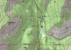
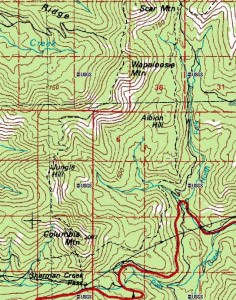
Click the icon for directions in google.From Kettle Falls follow U.S. Highway 395 to state Route 20. Follow state Route 20 for 20 miles and turn right on Albian Hill Road 2030. Follow road 2030 for 3.2 miles to trailhead sign and west 0.2 miles to trail.
-

- ★★★☆☆
-
 Directions
×
Directions
×Driving Directions
Click the icon for directions in google.From Kettle Falls follow U.S. Highway 395 to state Route 20. Follow state Route 20 for 20 miles and turn right on Albian Hill Road 2030. Follow road 2030 for 3.2 miles to trailhead sign and west 0.2 miles to trail.
- ★★★☆☆
Rides Add Your Ride
| Date | Rider | Hours | Minutes | Miles | GPS | Photos | Rating | |
|---|---|---|---|---|---|---|---|---|
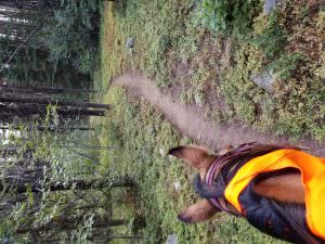
| 17 Sep 2017 | terrah75 | Ride Notes | 3 h | 39m | 6.51 |  |
★★★☆☆ |
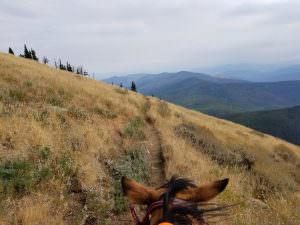
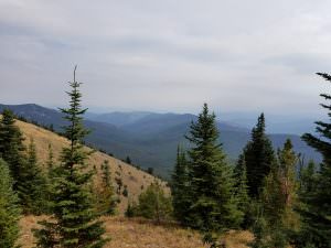
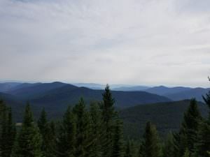
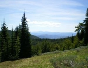
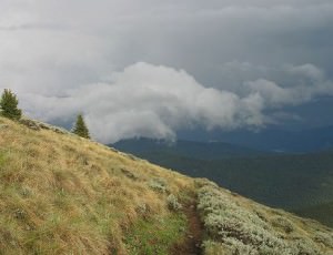
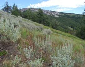
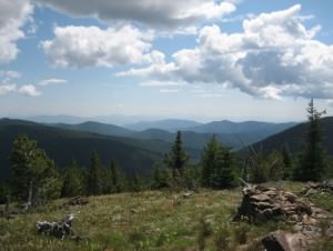
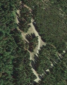
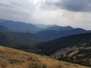
Nestled under the flanks of Wapaloosie Mountain you’ll find this scenic equestrian friendly campground in the Colville National Forest.
- Land Manager is Colville National Forest
- Certified Weed Seed Free Feed is Required
Like our content?
Then you’ll love our newsletter.
New horse camps and trailheads, gear reviews, tips, videos, inspiring stories and more.


