Horse Trails
Horse Trails
Smithville Lake of Clay County, Missouri - ridgewayearthlink-net added this area
Smithville, MO
 Printable Map
-
 Directions
×
Directions
×Driving Directions
Click the icon for directions in google.Smithville Lake is located roughly 20 miles due north of Kansas City, Missouri, east of US-Highway 169 in Smithville, Missouri. For more information, contact the Clay County Ranger Park Office: 17201 Paradesian Smithville, MO 64089 phone: (816) 407-3400 fax: (816) 407-3411 Hours: Monday - Thursday 7:00am - 8:00pm Friday, Saturday, Sunday 7:00am - 9:00pm Holidays: Thursday thru Monday 7:00am - 9:00pm
-

- ☆☆☆☆☆
 Printable Map
-
 Directions
×
Directions
×Driving Directions
Click the icon for directions in google.Smithville Lake is located roughly 20 miles due north of Kansas City, Missouri, east of US-Highway 169 in Smithville, Missouri. For more information, contact the Clay County Ranger Park Office: 17201 Paradesian Smithville, MO 64089 phone: (816) 407-3400 fax: (816) 407-3411 Hours: Monday - Thursday 7:00am - 8:00pm Friday, Saturday, Sunday 7:00am - 9:00pm Holidays: Thursday thru Monday 7:00am - 9:00pm
- ☆☆☆☆☆

string(75) "https://www.trailmeister.com/wp-content/uploads/2018/07/horsebackRiders.jpg"
string(69) "https://www.trailmeister.com/wp-content/uploads/2018/07/IMG_E8152.jpg"
string(74) "https://www.trailmeister.com/wp-content/uploads/2018/07/FullSizeRender.jpg"
string(68) "https://www.trailmeister.com/wp-content/uploads/2018/07/IMG_7887.jpg"
string(68) "https://www.trailmeister.com/wp-content/uploads/2018/07/IMG_7417.jpg"
string(69) "https://www.trailmeister.com/wp-content/uploads/2018/07/IMG_E7209.jpg"
string(68) "https://www.trailmeister.com/wp-content/uploads/2018/07/IMG_7014.jpg"
string(68) "https://www.trailmeister.com/wp-content/uploads/2018/07/IMG_6779.jpg"
string(68) "https://www.trailmeister.com/wp-content/uploads/2018/07/IMG_0581.jpg"
No Rides Found Be the first to Add Your Ride
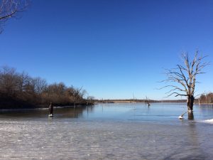
Smithville Lake is a 7,200 acre lake and has more than 175 miles of shoreline. Located just 20 miles from downtown Kansas City, there are several recreational opportunities available to the outdoor enthusiast that include: 2 swim beaches, 777 campsites, reservable shelters, 2 full service marinas including boat rentals, 1 sailboat only marina, dockside restaurant, 2 public 18-hole golf courses within the Paradise Pointe Golf Complex, 4 disc golf courses, great fishing whether from shore or by boat, 25 miles of walking/biking trails, 11 miles of single-track mountain biking trails, 26 miles of equestrian trails, home to Kansas City Trapshooters Association, public hunting that includes managed goose hunts as well as youth and ADA white-tail deer and wild turkey hunts, and an aggressive 2,300 acre native grassland revitalization project.
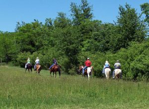
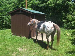
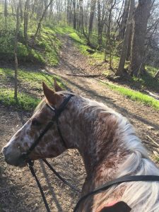
Smithville Lake offers 26 miles of horse/primitive hiking trails on the southeast side of the lake. The trail begins at Crows Creek Campground and ends in Arley, Missouri.
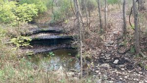
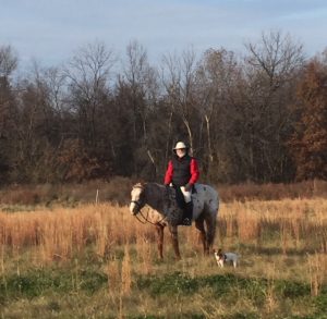
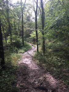
The area features a mix of rolling and flat terrain with many creek crossings. Fields of native warm-season grasses, wildflowers and row crops are scattered among the timbered areas.
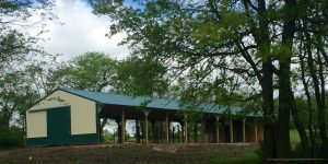
The primary trailheads at Crows Nest and Jack Rabbit Bend offer ample trailer parking.
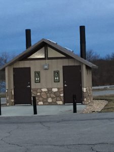
Loop A at Crows Creek Camground offers electric and electric/water camping sites for equestrians. Restrooms, showers, laundry and water hydrants are conveniently located. Please refer to the online reservation website for details.
Orange indicators mark the shoreline trail and white indicators mark the boundary trail.
Lettered locator posts have been placed along the trail to help riders reference their location on the map.
The trails east of Collins Road are located within Public Hunting Areas. Please use caution during hunting seasons.
Land manager is Clay County – https://www.claycountymo.gov/Parks/Smithville_Lake/Trails/Equestrian_Trails
The shoreline is rented from the U.S. Army Corps of Engineers by Clay County, Missouri for recreational purposes. Contact the Clay County Park Rangers Office at (816) 407-3400 for more information.
Regulations And Safety Rules
No camping along trail or at access areas
No open fires
Please keep horses out of crop fields
Follow safe riding practices
Be alert to hazardous crossings and low limbs
Horses shall not enter lake
Show consideration to other riders on trail
Ride horses only on designated trails
To prevent trail damage, avoid riding when trails are wet
Help keep our trails clean — Do not litter
Like our content?
Then you’ll love our newsletter.
New horse camps and trailheads, gear reviews, tips, videos, inspiring stories and more.


