Horse Trails
Horse Trails
Rattlesnake Slope Wildlife Area - caroleschuh added this area
Benton City, WA
Riders have logged 28.91 miles & 11.62 hours here.
TOP TRAIL RIDER: caroleschuh logged 28.91 miles.
-
 Directions
×
Directions
×Driving Directions
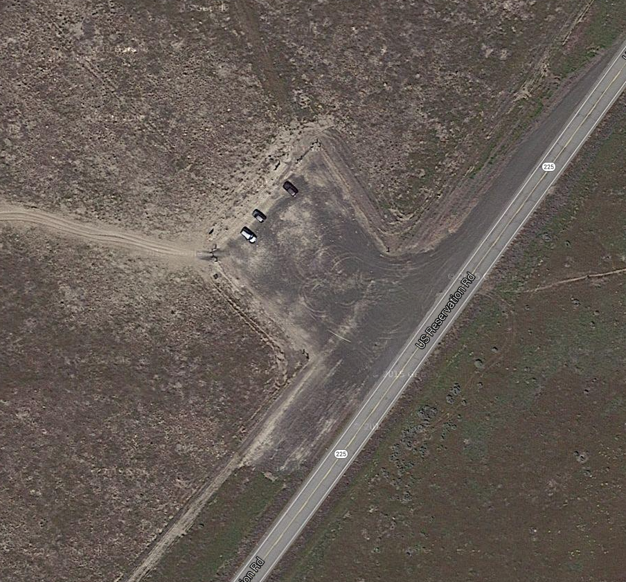
Click the icon for directions in google.From Yakima, drive east on Interstate 82 to exit 96 for Benton City. From TriCities and points east drive west on Interstate 82 to exit 96. After exiting, turn north and drive through Benton City. Continue north on State Route 225. At 7.3 miles from I-82, find a fenced parking area on the left (west) side of the highway. Washington Department of Fish and Wildlife permit required.
-

- ☆☆☆☆☆
-
Directions
×
Driving Directions
Click the icon for directions in google.From Yakima, drive east on Interstate 82 to exit 96 for Benton City. From TriCities and points east drive west on Interstate 82 to exit 96. After exiting, turn north and drive through Benton City. Continue north on State Route 225. At 7.3 miles from I-82, find a fenced parking area on the left (west) side of the highway. Washington Department of Fish and Wildlife permit required.
- ☆☆☆☆☆


Rides Add Your Ride
| Date | Rider | Hours | Minutes | Miles | GPS | Photos | Rating | |
|---|---|---|---|---|---|---|---|---|
| 25 Nov 2016 | caroleschuh | Ride Notes | 2 h | 27m | 5.92 |  |
|
☆☆☆☆☆ |
| 21 Nov 2016 | caroleschuh | Ride Notes | 1 h | 56m | 5.37 | |
|
☆☆☆☆☆ |
| 10 Oct 2016 | caroleschuh | Ride Notes | 2 h | 25m | 5.65 | |
|
☆☆☆☆☆ |
| 16 Nov 2016 | caroleschuh | Ride Notes | 3 h | 15m | 8.79 | |
|
☆☆☆☆☆ |
| 22 Aug 2016 | caroleschuh | Ride Notes | 1 h | 34m | 3.18 | |
☆☆☆☆☆ |
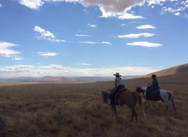
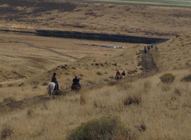
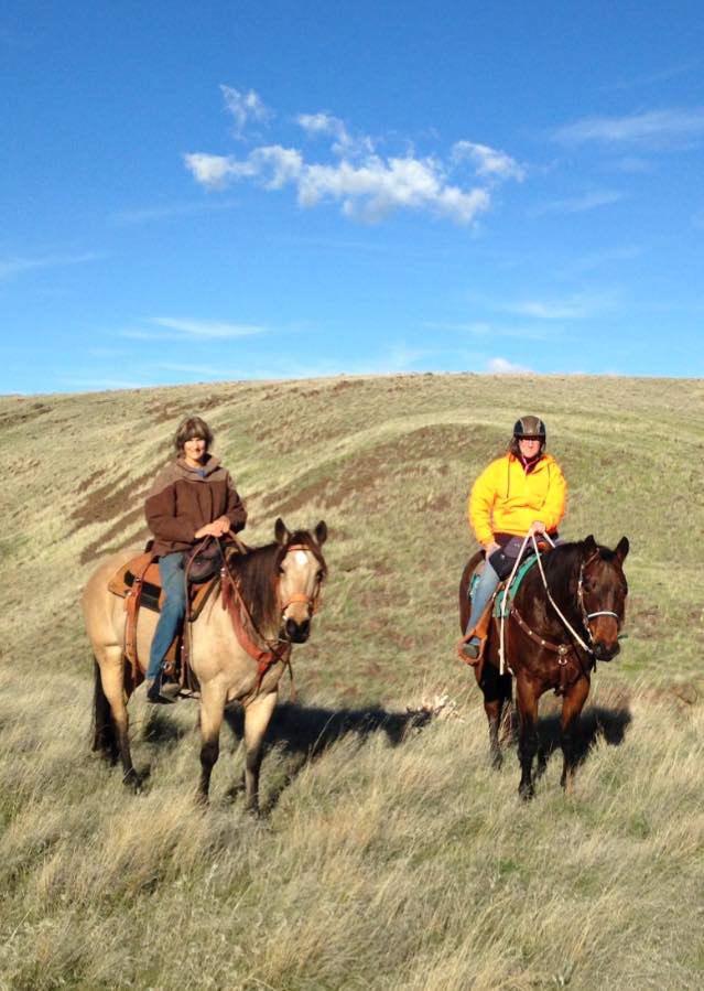
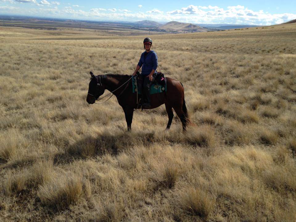
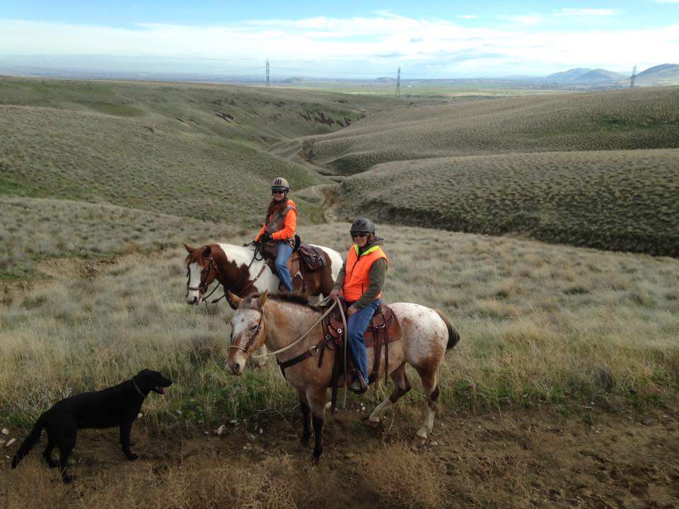
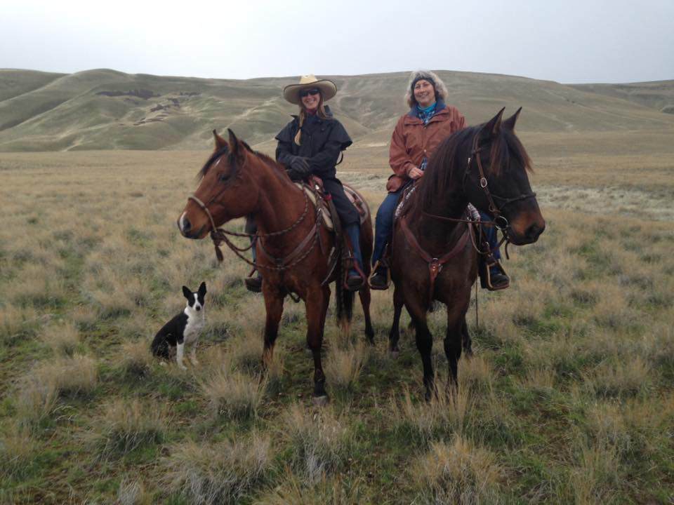
This open prairie-hilly area is on the northeast side of the Rattlesnake Mountion and west of the Yakima River. There are three main trails up separate draws or gullies that can be ridden as loops or as out and backs. As you climb the slope, your view of the beautiful Columbia Basin, the various hills surrounding TriCities and the local vineyards continues to widen and reach to the far eastern horizon. This is a favorite trail of many of the local equestrians. Our hopes are that congress will soon give approval for horse trails all the way to the summit of the Rattlesnake Mountains. This will open up many more miles of trails with even higher fantastic views.
Many thanks to TrailMeister user caroleschuh for sharing this fabulous area!
- Land manager is Washington Department of Fish & Wildlife – http://wdfw.wa.gov/lands/wildlife_areas/sunnyside-snake_river/Rattlesnake%20Slope/
- A Discover Pass is needed to park in the trail head parking area.
- Rules are simple. Obey the signs when you come to the Refuge Area. Ride north or south to the next trail, then back east to the parking area.