Horse Trails
Horse Trails
Rabbit Valley - TrailMeister added this area
Fruita, CO
 Printable Map
-
 Directions
×
Directions
×Driving Directions
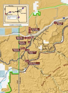
Click the icon for directions in google.Rabbit Valley is accessed from I-70 just a few miles from the Colorado-Utah state line. From the East, travel west on I-70 toward Utah, and take Exit #2 which is clearly marked. Go South on the overpass crossing I-70 and follow the signs to camp. From the West heading from Utah into Colorado, take Exit #2 as above.
-

- ☆☆☆☆☆
 Printable Map
-
 Directions
×
Directions
×Driving Directions
Click the icon for directions in google.Rabbit Valley is accessed from I-70 just a few miles from the Colorado-Utah state line. From the East, travel west on I-70 toward Utah, and take Exit #2 which is clearly marked. Go South on the overpass crossing I-70 and follow the signs to camp. From the West heading from Utah into Colorado, take Exit #2 as above.
- ☆☆☆☆☆

string(68) "https://trailmeister.com/wp-content/uploads/2014/01/rabbitvalley.jpg"
string(69) "https://trailmeister.com/wp-content/uploads/2014/01/rabbitvalley1.jpg"
string(69) "https://trailmeister.com/wp-content/uploads/2014/01/rabbitvalley2.jpg"
string(69) "https://trailmeister.com/wp-content/uploads/2014/01/rabbitvalley3.jpg"
string(69) "https://trailmeister.com/wp-content/uploads/2014/01/rabbitvalley4.jpg"
string(69) "https://trailmeister.com/wp-content/uploads/2014/01/rabbitvalley5.jpg"
No Rides Found Be the first to Add Your Ride
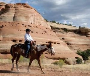
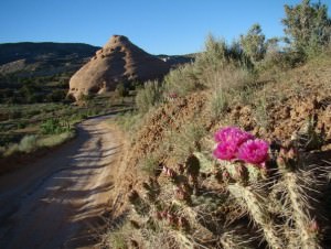
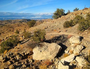
Located in the McInnis Canyons National Conservation Area, pictograph and petroglyph sites abound, and the Old Spanish Trail, once referred to as the “longest, crookedest, most arduous mule route in the history of America,” runs through this area. Please follow all LNT guidelines so that this area remains open to equestrian users.
- Land Manager is BLM – McInnis Canyons National Conservation Area
- Out of state horses must have current Coggins and health papers
Like our content?
Then you’ll love our newsletter.
New horse camps and trailheads, gear reviews, tips, videos, inspiring stories and more.


