Horse Trails
Horse Trails
Piney Creek Wilderness Trail - imdriven added this area
Cape Fair, MO
 Printable Map
-
 Directions
×
Directions
×Driving Directions
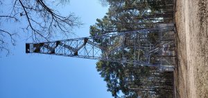
Click the icon for directions in google.North Trailhead, at the Pine View Lookout Tower, is located 32 miles west on Hwy 76 from Branson, MO. Turn left on Lake Road 76-6, go about a mile and turn right. South Trailhead is located 36 miles west on Hwy 76 from Branson, MO, turn left onto Hwy 39 at Hill City, and go 1 mile to Lake Road 39-1, then go 4 miles further to South Trailhead.
-

- ☆☆☆☆☆
 Printable Map
-
 Directions
×
Directions
×Driving Directions
Click the icon for directions in google.North Trailhead, at the Pine View Lookout Tower, is located 32 miles west on Hwy 76 from Branson, MO. Turn left on Lake Road 76-6, go about a mile and turn right. South Trailhead is located 36 miles west on Hwy 76 from Branson, MO, turn left onto Hwy 39 at Hill City, and go 1 mile to Lake Road 39-1, then go 4 miles further to South Trailhead.
- ☆☆☆☆☆
No Rides Found Be the first to Add Your Ride
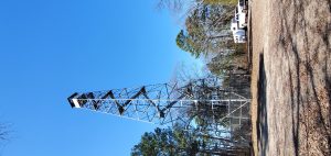
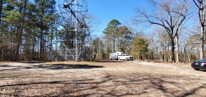
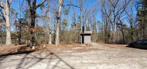
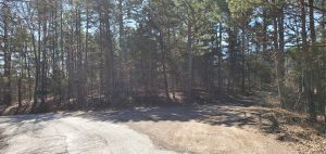
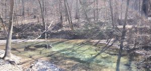
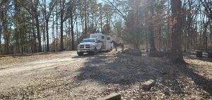
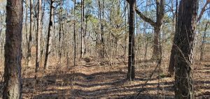
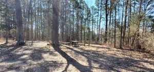
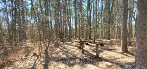
Good paved roads to the tower road trailhead. Parking lot is a turnaround with plenty of space for trailers. Several camping spots with fire rings and picnic tables available at the Tower Loop trailhead. One has a hitching post. Vault toilets, no potable water, horses can drink from the rivers but they are at the bottom of the mountain not near the parking area.
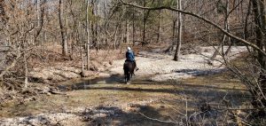
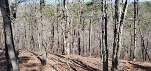
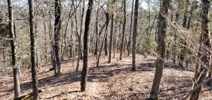
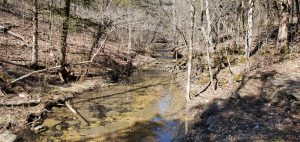
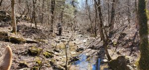
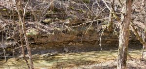
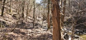
Trails are hiking and horses no bikes or motor vehicles. The tower trail leaving the parking area to the west starts out nice but not far now you get to a lot of rock ledges. These are very difficult to navigate even for experienced horses. Would be better coming up instead of down. However the east trail is steeper and more difficult for a greater distance so the west trail is probably the best to go down. Once you get to the river the trail is very difficult to find. It is not marked well at all. Some people have tried to mark the trail using personal orange trail tape along the river. This trail is not on the Forest service maps. The actual trail goes across the river and up a very steep hill. But there are no Forest service trail markers in this area to find the trail. You can continue to travel along the river on the trail with no name. The trail is rough, rocky and you will often be dodging tree branches. Once you get back to the real trail along the bottom it is a much better trail, mostly flat and is actually marked. This is the nicest part of the trail. You come to a marked fork in the road and can choose to go to the lake or back to the tower trail parking lot. The trail to the parking area is steep and has a lot of rock. Tower loop trail would be considered moderate to difficult.
Do not tie horses directly to trees other than for a short period, use a high line.
Land manager is Mark Twain National Forest – https://www.fs.usda.gov/recarea/mtnf/recarea/?recid=21764
Piney Creek Wilderness Mark Twain National Forest Ava/Cassville/Willow Springs Ranger District
1006 S Jefferson St
Ava MO 65608
Limit your party size to 10 persons. No camping within 100 feet of trails, water sources and other camps. Practice Leave No Trace outdoor ethics; Never tie stock directly to trees. No motorized or mechanized equipment allowed. Commercial use will not be permitted. Special uses will not be permitted, except for access to surrounded private property.
Like our content?
Then you’ll love our newsletter.
New horse camps and trailheads, gear reviews, tips, videos, inspiring stories and more.


