Horse Trails
Horse Trails
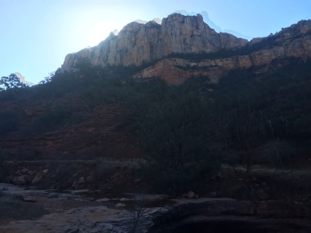
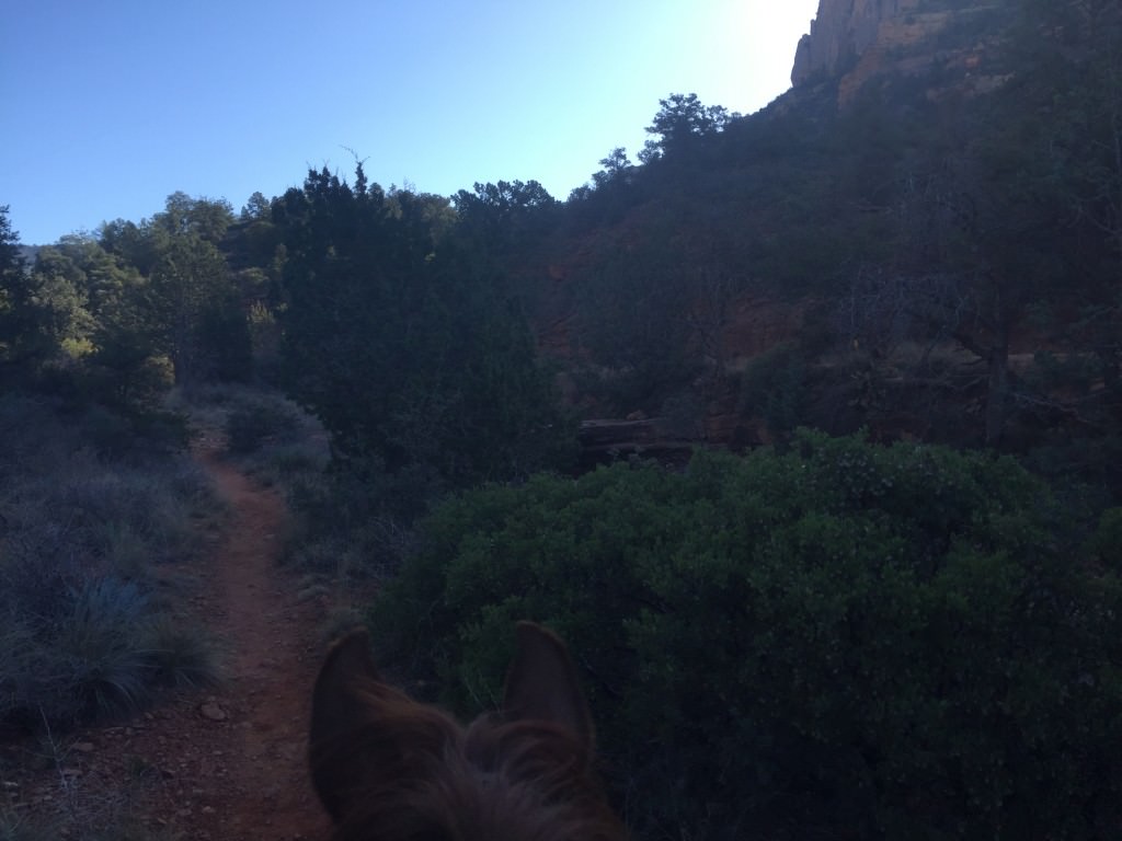
Munds Wagon Trail - mumadayo added this area
sedona, AZ
Riders have logged 14.85 miles & 8.00 hours here.
TOP TRAIL RIDER: mumadayo logged 14.85 miles.
-
 Directions
×
Directions
×Driving Directions
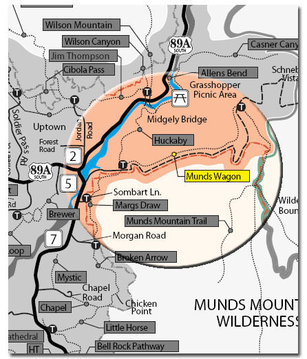
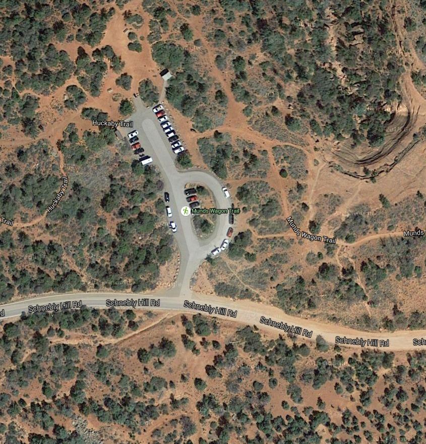
Click the icon for directions in google.From the junction of Routes 89A and 179, take 179 south 0.3 miles. Turn left on Schnebly Hill Road just across the Oak Creek Bridge and go 0.8 miles to the Huckaby/Margs Draw Trails parking area on the left. West to east is rated strenuous.
-

- ☆☆☆☆☆

-
Directions
×
Driving Directions
Click the icon for directions in google.From the junction of Routes 89A and 179, take 179 south 0.3 miles. Turn left on Schnebly Hill Road just across the Oak Creek Bridge and go 0.8 miles to the Huckaby/Margs Draw Trails parking area on the left. West to east is rated strenuous.
- ☆☆☆☆☆


Rides Add Your Ride
| Date | Rider | Hours | Minutes | Miles | GPS | Photos | Rating | |
|---|---|---|---|---|---|---|---|---|
| 22 Feb 2016 | mumadayo | Ride Notes | 8 h | 0m | 14.85 |  |
☆☆☆☆☆ |
The trail begins at the West Trailhead at the parking area for the Margs Draw and Huckaby Trailhead just off Schnebly Hill Road. It is possible to take shorter hikes on portions of the trail utilizing the various mid-trail access points, one at Merry-Go-Round and others where the trail intersects or passes next to Schnebly Hill Road. Road crossings are marked with basket cairns.
Land manager is Coconino National Forest
Red Rock Pass or America the Beautiful Pass required to park at the trailhead.