Horse Trails
Horse Trails
Molalla River Recreation Area - TrailMeister added this area
Molalla, OR
 Printable Map
-
 Directions
×
Directions
×Driving Directions
Click the icon for directions in google.From downtown Molalla, head east on Main St/OR 211. Veer right at the OR 211/Mathias Rd intersection, following signs for Feyrer Park. Once past Feyrer Park (operated by Clackamas County) and over the Molalla River, follow signs for Dickey Prairie and turn right. Continue south on Dickey Prairie Rd, passing the Dickey Prairie Store. 3.7 miles past the Store, turn right on Molalla Forest Rd and cross Glen Avon Bridge. Hardy Creek Trailhead is 3.5 miles south of the Bridge.
-

- ☆☆☆☆☆
 Printable Map
-
 Directions
×
Directions
×Driving Directions
Click the icon for directions in google.From downtown Molalla, head east on Main St/OR 211. Veer right at the OR 211/Mathias Rd intersection, following signs for Feyrer Park. Once past Feyrer Park (operated by Clackamas County) and over the Molalla River, follow signs for Dickey Prairie and turn right. Continue south on Dickey Prairie Rd, passing the Dickey Prairie Store. 3.7 miles past the Store, turn right on Molalla Forest Rd and cross Glen Avon Bridge. Hardy Creek Trailhead is 3.5 miles south of the Bridge.
- ☆☆☆☆☆

string(69) "https://trailmeister.com/wp-content/uploads/2014/01/molallariver4.jpg"
string(68) "https://trailmeister.com/wp-content/uploads/2014/01/molallariver.jpg"
string(69) "https://trailmeister.com/wp-content/uploads/2014/01/molallariver1.jpg"
string(69) "https://trailmeister.com/wp-content/uploads/2014/01/molallariver2.jpg"
string(69) "https://trailmeister.com/wp-content/uploads/2014/01/molallariver3.jpg"
No Rides Found Be the first to Add Your Ride
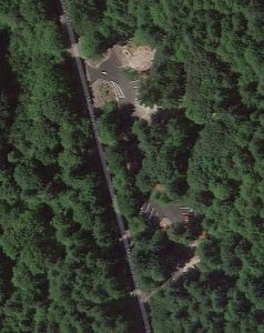
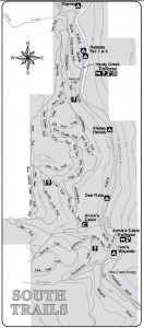
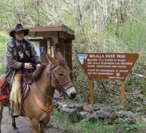
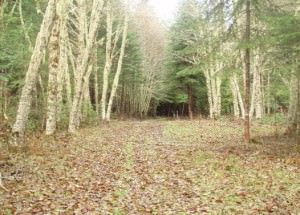
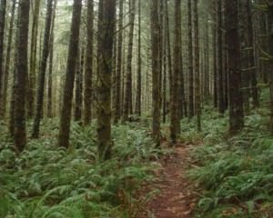
Primarily a day use area, the Hardy Creek Trailhead gives excellent access to over 25 miles of interconnected trails that loop and meander above the Molalla River.
- Land Manager is BLM Salem District
Like our content?
Then you’ll love our newsletter.
New horse camps and trailheads, gear reviews, tips, videos, inspiring stories and more.


