Horse Trails
Horse Trails
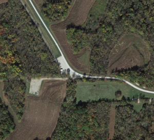
Honey Creek Conservation Area - 1trailmeister added this area
Amazonia, MO
Riders have logged 14.69 miles & 4.67 hours here.
TOP TRAIL RIDER: idahotrails logged 14.69 miles.
 Printable Map
-
 Directions
×
Directions
×Driving Directions
Click the icon for directions in google.At the I-29 Fillmore exit (Exit 65), take Highway 59 south about 0.125 mile, then Route RA east to area entrance.
-

- ☆☆☆☆☆
 Printable Map
-
 Directions
×
Directions
×Driving Directions
Click the icon for directions in google.At the I-29 Fillmore exit (Exit 65), take Highway 59 south about 0.125 mile, then Route RA east to area entrance.
- ☆☆☆☆☆
Rides Add Your Ride
| Date | Rider | Hours | Minutes | Miles | GPS | Photos | Rating | |
|---|---|---|---|---|---|---|---|---|
| 24 Nov 2016 | idahotrails | Ride Notes | 4 h | 40m | 14.69 |  |
☆☆☆☆☆ |
This 1,448-acre nature preserve contains a diverse assortment of habitats, including forest and woodland, cropland and grassland. Rolling hills covered in trees combined with camping equals Honey Creek is great place to visit with your horses. This is popular area so be prepared for company!
Land manager is Missouri Department of Conservation – http://mdc7.mdc.mo.gov/applications/moatlas/AreaSummaryPage.aspx?txtAreaID=6127#FacilityResults
Horse trails closed during firearms deer season and spring turkey season.
No “cross-country” riding.
Like our content?
Then you’ll love our newsletter.
New horse camps and trailheads, gear reviews, tips, videos, inspiring stories and more.


