Horse Trails
Horse Trails
Erving State Forest - TrailMeister added this area
Irving, MA
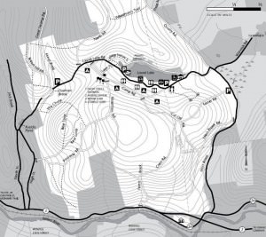
 Printable Map
-
 Directions
×
Directions
×Driving Directions
Click the icon for directions in google.Take 1-90 (MA PIKE)west to exit 10 onto I-290 north. Drive 7.3 miles on I-290 north to exit 19, I-190 north. Drive 18.75 miles on I-190 north and merge onto Rt. 2 west. Drive 36.5 miles on Rt. 2 west to exit 13, Rt. 2A east. (No “Exit 13” sign) Drive 0.5 mile on Rt. 2A east and turn left onto Moss Brook Rd. Drive 2 miles on Moss Brook Rd. and turn left onto Long Pond Rd. Drive 0.5 mile on Long Pond Rd. Park contact station is on left.
-

- ☆☆☆☆☆
 Printable Map
-
 Directions
×
Directions
×Driving Directions
Click the icon for directions in google.Take 1-90 (MA PIKE)west to exit 10 onto I-290 north. Drive 7.3 miles on I-290 north to exit 19, I-190 north. Drive 18.75 miles on I-190 north and merge onto Rt. 2 west. Drive 36.5 miles on Rt. 2 west to exit 13, Rt. 2A east. (No “Exit 13” sign) Drive 0.5 mile on Rt. 2A east and turn left onto Moss Brook Rd. Drive 2 miles on Moss Brook Rd. and turn left onto Long Pond Rd. Drive 0.5 mile on Long Pond Rd. Park contact station is on left.
- ☆☆☆☆☆
No Rides Found Be the first to Add Your Ride
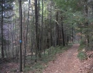
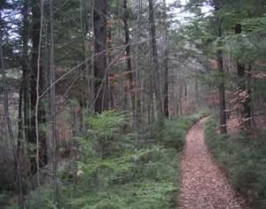
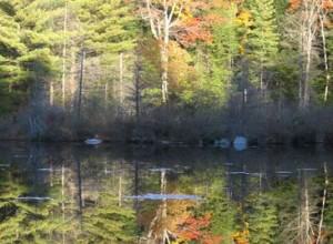
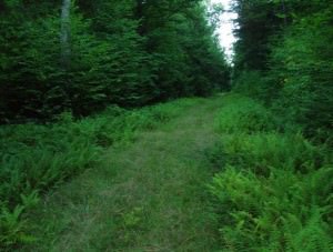
Erving’s 4,479 acres support miles of old town and logging roads some of which have degraded to pleasant woodland single track. Much of the trail activity in the forest is done during the snow seasons and these same well maintained snowmobile trails are great for trail riding in the warmer months.
- Land Manager is Massachusetts Department of Conservation and Recreation
Like our content?
Then you’ll love our newsletter.
New horse camps and trailheads, gear reviews, tips, videos, inspiring stories and more.


