Submit a Trail
Horse Trails
Horse Trails
Cold Springs Campground - 1trailmeister added this area
Tonasket, WA
-
 Directions
×
Directions
×Driving Directions
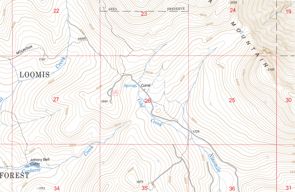
Click the icon for directions in google.Toats Coulee, take OM-T-1000 Road for 2.1 miles. Turn right on Cold Creek Road (gravel) and go .4 miles. Stay right. Go 1.8 miles. Stay left. Go 2.3 miles to picnic area. Continue .4 miles to camp.
-

- ☆☆☆☆☆
-
Directions
×
Driving Directions
Click the icon for directions in google.Toats Coulee, take OM-T-1000 Road for 2.1 miles. Turn right on Cold Creek Road (gravel) and go .4 miles. Stay right. Go 1.8 miles. Stay left. Go 2.3 miles to picnic area. Continue .4 miles to camp.
- ☆☆☆☆☆


No Rides Found Be the first to Add Your Ride
At an elevation of 6,100 feet, Cold Springs Campground has views of the Pasayten Wilderness, Snowshoe Mountain, and Chopaka Mountain. Sites are surrounded by preserved land with more than 50 miles of trail.
Land manager is WA Department of Natural Resources – http://www.dnr.wa.gov/LoomisLoupLoup#coldsprings
Discover Pass is required