Horse Trails
Horse Trails
Cedar Ridge - candy added this area
Waynesville, MO
 Printable Map
-
 Directions
×
Directions
×Driving Directions
Click the icon for directions in google.From I 44, exit Hwy 17 south, at Buckhorn, Mo. stay on 17, about 8 miles watch for sign Cedar Ridge Campground.. follow signs.. easy to find..
From I-44 take exit 153 (Buckhorn exit) south on Hwy 17 approximately 13 miles to Elk Road. Turn right on to Elk Road for approximately 2 1/2 miles then turn right to Cedar Ridge Trails. About a 20 minute drive. -

- ☆☆☆☆☆
 Printable Map
-
 Directions
×
Directions
×Driving Directions
Click the icon for directions in google.From I 44, exit Hwy 17 south, at Buckhorn, Mo. stay on 17, about 8 miles watch for sign Cedar Ridge Campground.. follow signs.. easy to find..
From I-44 take exit 153 (Buckhorn exit) south on Hwy 17 approximately 13 miles to Elk Road. Turn right on to Elk Road for approximately 2 1/2 miles then turn right to Cedar Ridge Trails. About a 20 minute drive. - ☆☆☆☆☆
No Rides Found Be the first to Add Your Ride
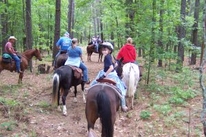
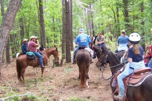
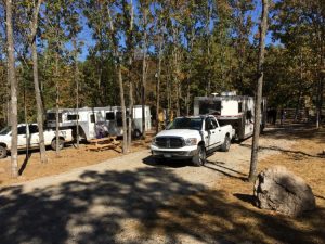
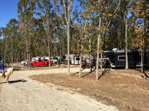
The owners of Cedar Ridge treat you like family.. they will even saddle up and ride with you, if you want to have a guide and point out some pretty sites you might miss by just going out on your own.. everything is top notch, and clean and just perfect.. 2 stalls for and at each campsite.. water spickets every 20 ft or so, available electric hook ups, fire pits for cooking and just enjoying, picnick tables at everysite.. Cowboy church offered on Sundays.. Just the greatest place to go..!
Many thanks to TrailMeister user Candy for adding Missouri’s Cedar Ridge Trails Horsecamp!
Private Facility – www.cedaridgetrails.com
Owners Lana and Dave Bruce
Must have recent Coggins
Keep your own stalls mucked, (forks and wheel barrow at sites) clean up you site before you leave.
Like our content?
Then you’ll love our newsletter.
New horse camps and trailheads, gear reviews, tips, videos, inspiring stories and more.


