Horse Trails
Horse Trails
Brown Mountain - 1trailmeister added this area
Medford, OR
-
 Directions
×
Directions
×Driving Directions
Click the icon for directions in google.From Ashland, OR, take Highway 66 East for 0.5 mile to Dead Indian Memorial Highway. Turn left on Dead Indian Memorial Highway and travel 22 miles to Forest Road 37 (Big Elk Road). Turn left on to Forest Road 37 and proceed 6 miles to Forest Road 3705. Proceed southeast on Forest Road 3705 for 1 mile to the junction with Forest Road 3720 and continue for 1.5 miles to the junction with Forest Road 700 and proceed 3 miles to Forest Road 3640. Turn left again and continue 1.5 miles to the intermediate trailhead.
-

- ☆☆☆☆☆
-
 Directions
×
Directions
×Driving Directions
Click the icon for directions in google.From Ashland, OR, take Highway 66 East for 0.5 mile to Dead Indian Memorial Highway. Turn left on Dead Indian Memorial Highway and travel 22 miles to Forest Road 37 (Big Elk Road). Turn left on to Forest Road 37 and proceed 6 miles to Forest Road 3705. Proceed southeast on Forest Road 3705 for 1 mile to the junction with Forest Road 3720 and continue for 1.5 miles to the junction with Forest Road 700 and proceed 3 miles to Forest Road 3640. Turn left again and continue 1.5 miles to the intermediate trailhead.
- ☆☆☆☆☆

string(71) "https://trailmeister.com/wp-content/uploads/2014/07/Brown-Mountain1.jpg"
string(99) "https://trailmeister.com/wp-content/uploads/2014/07/On-the-PCT-heading-south-toward-Freye-Lake1.jpg"
string(137) "https://trailmeister.com/wp-content/uploads/2014/07/On-the-PCT-heading-over-Brown-Mountain-lava-flows-with-a-view-of-Mt.-McLoughliin1.jpg"
string(64) "https://trailmeister.com/wp-content/uploads/2014/06/brownmtn.png"
string(65) "https://trailmeister.com/wp-content/uploads/2014/06/brownmtn1.png"
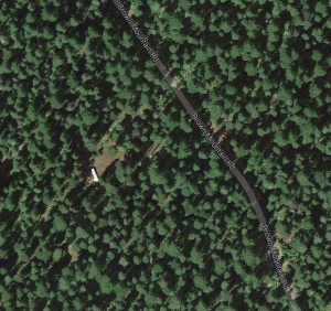
No Rides Found Be the first to Add Your Ride
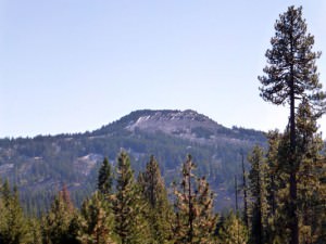
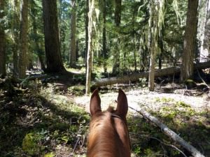
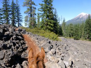
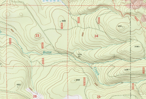
Located about midway between Medford and Klamath Falls at the summit of the Cascades, the Brown Mountain area offers some mighty nice riding. Many thanks to Kim McCarrel for sharing this area! For more detailed info check out Riding SOUTHERN OREGON Horse Trails page 41.
- Land manager is Rogue River-Siskiyou National Forest
- Weed free feed is required in the Rogue River-Siskiyou National Forest
Like our content?
Then you’ll love our newsletter.
New horse camps and trailheads, gear reviews, tips, videos, inspiring stories and more.


