Horse Trails
Horse Trails
Auburn State Recreation Area - Olmstead Loop - 1trailmeister added this area
Cool, CA
 Printable Map
-
 Directions
×
Directions
×Driving Directions
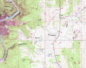
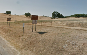
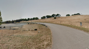
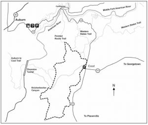
Click the icon for directions in google.Knickerbocker/Cool Trailhead off Highway 49 in Cool. Located by the fire station is the parking lot and trailhead for the 10 mile Olmstead Loop Trail and many connector trails. Plenty of parking for both cars and horse trailers.
-

- ☆☆☆☆☆
 Printable Map
-
 Directions
×
Directions
×Driving Directions
Click the icon for directions in google.Knickerbocker/Cool Trailhead off Highway 49 in Cool. Located by the fire station is the parking lot and trailhead for the 10 mile Olmstead Loop Trail and many connector trails. Plenty of parking for both cars and horse trailers.
- ☆☆☆☆☆
No Rides Found Be the first to Add Your Ride
In the heart of the gold country, the Auburn State Recreation Area (Auburn SRA) covers 40-miles of the North and Middle Forks of the American river. Once teeming with thousands of gold miners, the area is now a natural area offering a wide variety of recreation opportunities to over 900,000 visitors a year.
The Olmstead Loop Trail (8.6 miles) is especially popular in the springtime when wildflowers are in bloom
Land manager is California Dept of Parks and Recreation – https://www.parks.ca.gov/?page_id=502
Day use fee area
Like our content?
Then you’ll love our newsletter.
New horse camps and trailheads, gear reviews, tips, videos, inspiring stories and more.


