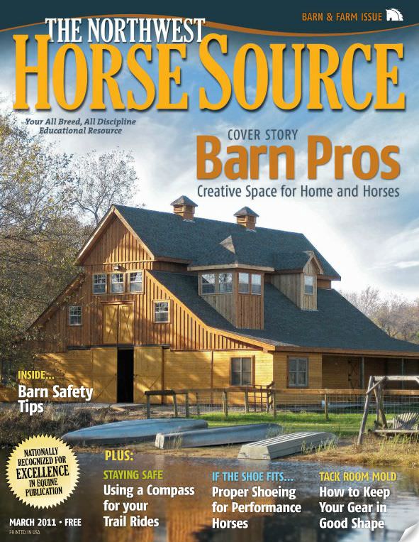
As Published in the March, 2011, issue of The Northwest Horse Source.
Compass Usage for Trail Riders
With backcountry access limited in the winter months, now is a perfect opportunity to practice and refine your navigation skills. When the weather finally clears you’ll be ready and confident in your ability to find your way through the mountains and back. When your destination is remote one of most valuable skills to learn and be proficient at is how to use your compass.
While many people do carry a compass (and sometimes even a map) in their saddle bags; quite often these vital pieces of gear are carried as a sort of talisman intended to make the rider feel better about their trip. Go beyond mentally making a check in the box on the gear list and take the time to learn how to operate these fascinating items. Failure to do so could prove annoying at best and disastrous at worse should you become separated from your group and your horse in the back country.
I teach a number of land navigation classes each year designed to help horse riders “Stay Found” while on the trail and beyond. In these seminars we delve into some of the most common misconceptions about using compasses as well as the best and most practical usage of these tools.
One of the most important concepts that you should have a firm grasp of is that “compasses can lie.” While a piece of plastic and metal may not actually have ill intent it is still very easy to be confused by them. So with that in mind…
The first thing to know, as well as the most commonly remembered, is that compasses point North. At its face this seems rather predictable until you learn that there are many different types of “North”. Did you know that your compass doesn’t point to the North Pole? Santa Claus aside, the North Pole is referred to as “Geographic North” and that isn’t where your compass points. Your compass, you see, always tries to find “Magnetic North” which is a moving target (about 40 miles a year!) and is currently situated west of Greenland. This angular, and moving, difference in position is referred to as “declination” and in the PNW this angle ranges between 14-18° East (Meaning that the compass needle points that many degrees east of true north). Trail navigation is generally not so precise that riders need to worry about declination down to the last degree. However, failure to distinguish between east and west, and adjusting for declination in the wrong direction, is a very good way to see a lot of unexpected country.
Another concept to learn about compasses is that a compass is just a magnet on a stick and it can be tricked into giving you incorrect information. Since a compass operates by aligning with the earth’s magnetic fields we have to be aware of what is nearby when we take a reading. Any type of iron bearing (ferrous) material will affect where the needle is pointing to some degree based upon how close the object is to your compass. Multi-tools, saddle horns, and even watches and eyeglasses often cause erroneous readings.
With these opportunities for error in mind you may be thinking “Why bother, I’ll just get a GPS.” Compasses have been around for a long time and with good reason. A compass won’t run out of batteries, and a map will never lose its signal. If you take the time to learn how to properly use this ancient tool you’ll be glad that you did.
As always, for more information of this topic as well of many others of importance to the backcountry trail rider visit www.TrailMeister.com.


